Wampum Belt Archive
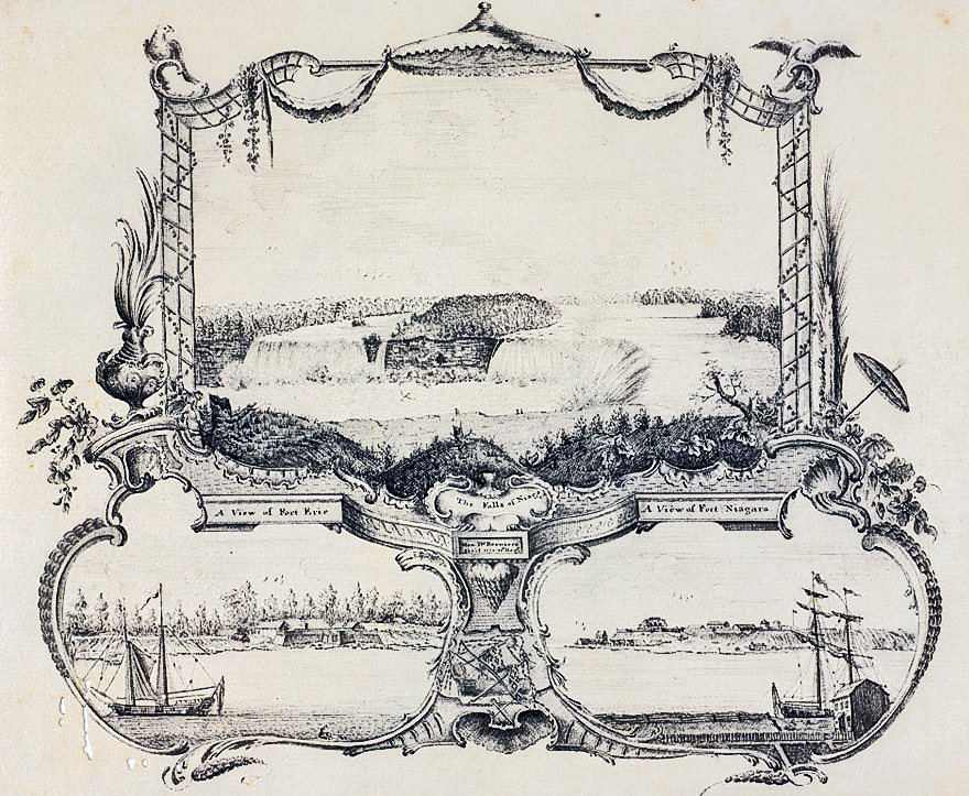
Belt illustrated between the pictures of the forts
Note the beads a laying horizontal. Depiction of the bead design as best as can be determined.
Question:
Is the belt an actual representation of an exchange or is it the product of the artistic license?
Illustration: R.D. Hamell 6/04/2022
Original Size: |
|
Reproduction: |
Rows: 9. Columns 89. Est. Length: 67 inches. Width. 2.0 inches |
Beads: |
Total: 801 |
Materials: |
Warp: deer leather. Weft: artificial sinew. |
Description:
The Falls of Niagara, Fort Erie and Fort Niagara,1773
Three pen and ink drawings by Henry de Berniere, 10th Regiment of Foot, 1773.
Ensign Henry de Berniere drew a number of maps of North America which are now held in public collections in America. In 1775, General Thomas Gage, Commander-in-Chief of British Forces during the American War of Independence, sent de Berniere and Captain John Brown on a mission to sketch roads, passes and heights from Boston to Worcester and to make observations. Henry de Berniere's account of this was published in Boston in 1779.
NAM Accession Number
NAM. 1960-07-214-1
Copyright/Ownership
National Army Museum, Out of Copyright
Location
National Army Museum, Study collection
 |
 |
 |
 |
 |
 |
 |
 |
|---|

